Skip to content

Ongoing Project

Community-Based Climate and Disaster Risk Resilience Planning for Flood-Prone Communities: A Comparative Study of New Kru Town and Johnsonville, Montserrado County, Liberia

A convergent mixed-methods, cross-sectional, comparative two-case community risk and resilience study supported by participatory GIS.

Statement of the problem

Why this study is needed

New Kru Town and Johnsonville experience recurrent flooding compounded by inadequate drainage, poor solid-waste management, vulnerable settlements, and limited access to essential services and preparedness mechanisms. These conditions expose households, livelihoods, infrastructure, and community services to recurring physical, socioeconomic, environmental, and psychosocial impacts.

Although disaster-risk and climate information is available, evidence on hazard hotspots, exposure and vulnerability, community coping capacities, early-warning access, local knowledge, and institutional capacity remains fragmented and insufficiently integrated into local planning.

The study therefore examines how community-generated risk information and institutional-capacity findings can be systematically translated into feasible and prioritized climate and disaster risk resilience planning actions for the two communities.
Research Focus

The study compares an urban-coastal community, New Kru Town, with an inland/peri-urban community, Johnsonville, using a common analytical structure that connects flood risk, community resilience, institutional adaptive capacity, and evidence-to-planning translation.

Research Questions

  • What are the major flood-related hazards, risk hotspots, exposure, and vulnerability conditions affecting households, livelihoods, infrastructure, and essential community services in New Kru Town and Johnsonville?
  • How do communities prepare for, respond to, cope with, and recover from recurrent flooding, and what local knowledge, social networks, early-warning mechanisms, and community resources strengthen or constrain their resilience?
  • What institutional, governance, and planning-capacity gaps constrain the integration of community-generated risk information into local, municipal, and land-use planning, and how do these conditions differ between New Kru Town and Johnsonville?
  • How can community-generated risk information and institutional-capacity findings be systematically translated into feasible and prioritized climate and disaster risk resilience planning actions for New Kru Town and Johnsonville?

Research Design and Methods

  • Design: convergent mixed-methods, cross-sectional, comparative two-case study supported by participatory GIS.
  • Household survey: target 600 completed interviews, with 300 households in New Kru Town and 300 in Johnsonville, using geographically stratified systematic probability sampling after validation of household sampling frames.
  • Key-informant interviews: approximately 16–18 community, service, institutional, planning, disaster, environmental, and civil-society stakeholders.
  • Focus-group discussions: 6 groups, 3 per site, with 6–8 adults per group and purposive representation of women/caregivers, young adults, high-exposure residents, disability and older-person perspectives.
  • Participatory risk mapping: 2 sessions, 1 per site, with 10–15 participants representing residents, leaders, women, youth, disability representatives, and service actors.
  • Observation and GPS: structured transect observations and GPS-supported documentation of safely accessible prioritized hotspots.
  • Validation: 2 site-level validation and prioritization sessions after preliminary integration of findings.
  • Document review: relevant policy, planning, institutional, and implementation documents.
  • Integration: quantitative, qualitative, spatial, observational, and documentary evidence will be analyzed separately and then merged through joint displays and structured cross-case comparison.

General Objective

To generate, compare, and integrate community-based evidence on flood-related hazards, exposure, vulnerability, preparedness, coping, community resilience, institutional capacity, and planning gaps in New Kru Town and Johnsonville, and to determine how this evidence can inform feasible and prioritized climate and disaster risk resilience planning actions.

New Kru Town

An urban-coastal study setting selected for its flood and shoreline exposure, settlement vulnerability, infrastructure and service pressures, and community adaptation experience.

Johnsonville

An inland/peri-urban study setting selected for recurrent flooding, preparedness and early-warning concerns, changing settlement conditions, and institutional coordination challenges.

Specific Objectives

  • Identify and compare the major flood-related hazards, risk hotspots, exposure, and vulnerability conditions affecting households, livelihoods, infrastructure, and essential community services in New Kru Town and Johnsonville.
  • Examine how residents prepare for, respond to, cope with, and recover from recurrent flooding, and assess the local knowledge, social networks, early-warning mechanisms, and community resources that strengthen or constrain resilience in the two communities.
  • Assess the institutional, governance, and planning-capacity gaps that constrain the integration of community-generated risk information into relevant local, municipal, and land-use planning processes, and compare these conditions between New Kru Town and Johnsonville.
  • Determine how community-generated risk information and institutional-capacity findings can be systematically translated into feasible and prioritized climate and disaster risk resilience planning actions for New Kru Town and Johnsonville.

Household Questionnaire Coverage

  • Flood exposure, flood frequency, duration, drainage condition, waste blockage, stagnant water, erosion, and access disruption.
  • Household, livelihood, road, school, market, water/sanitation, displacement, and service impacts.
  • Preparedness, early-warning access, coping practices, local knowledge, social support, networks, leadership, and community resources.
  • Differentiated vulnerability, including income, housing, age, disability, sex/gender-related constraints, caregiving, and transport or service access.
  • Non-clinical psychosocial indicators including flood-related worry or stress, perceived safety, daily-function disruption, coping, social support, and help-seeking awareness.
  • Household and community priorities for practical climate and disaster risk resilience planning.

Expected Methodological Outputs

  • Site-specific and comparative household risk profiles.
  • Validated community hotspot maps with privacy safeguards.
  • Community resilience and institutional adaptive-capacity profiles.
  • Evidence-to-planning gap matrix.
  • Joint mixed-methods evidence matrix for the four specific objectives.
  • Prioritized resilience-action matrix for New Kru Town and Johnsonville.
  • Methodologically documented evidence suitable for PLANADES reporting, conference presentation, and future publication subject to approval.

Field and community context

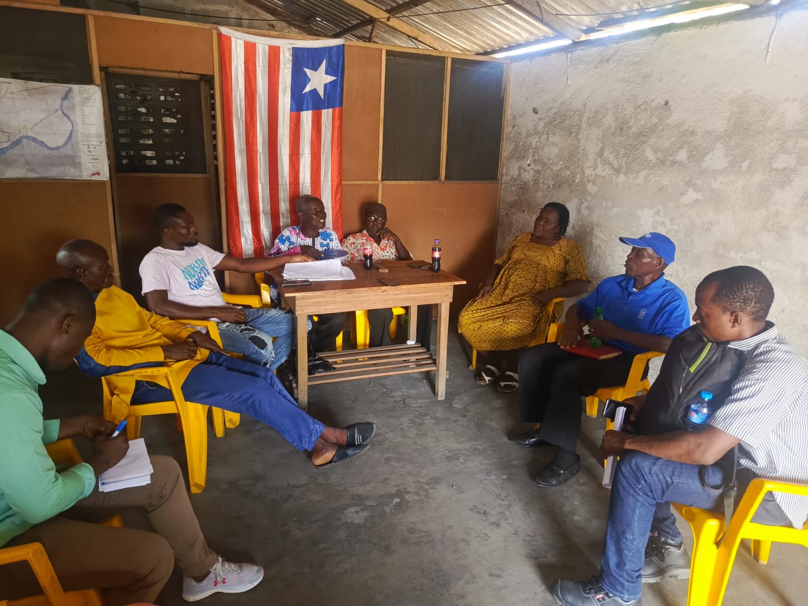
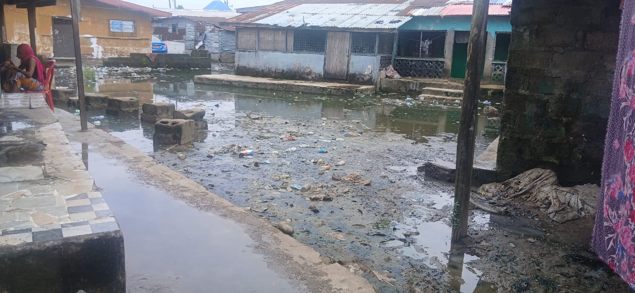
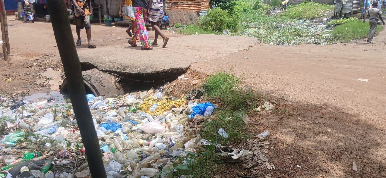
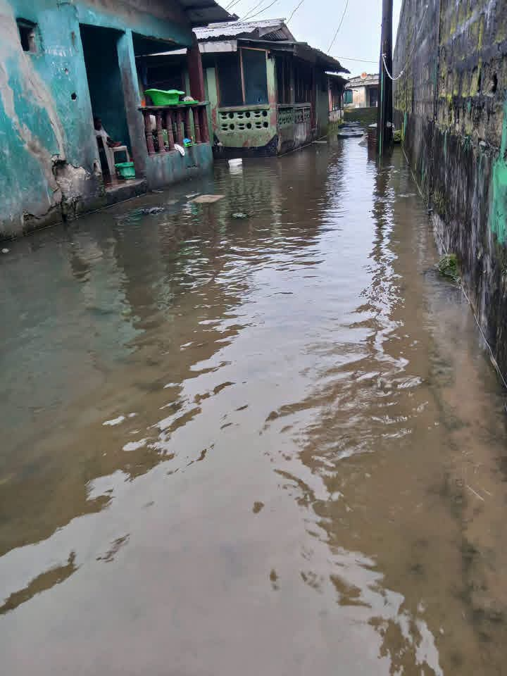
Selected research and resilience-planning photos

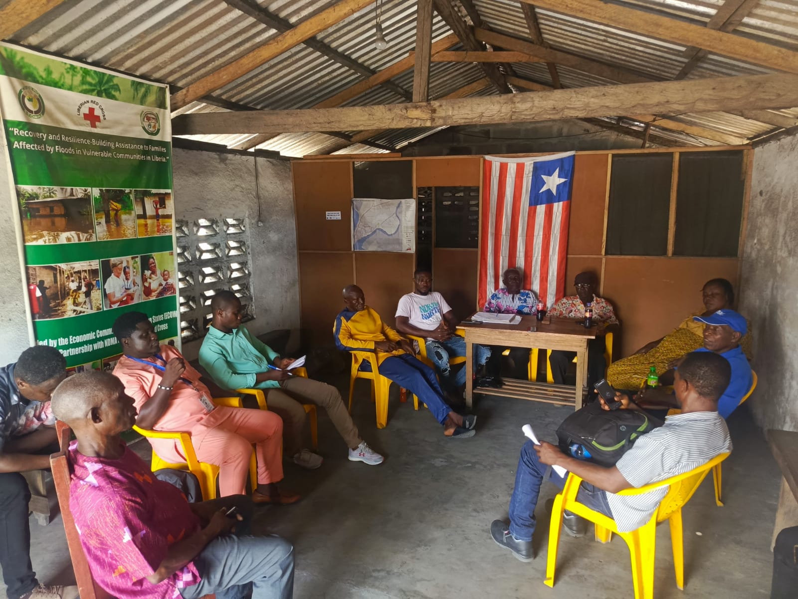
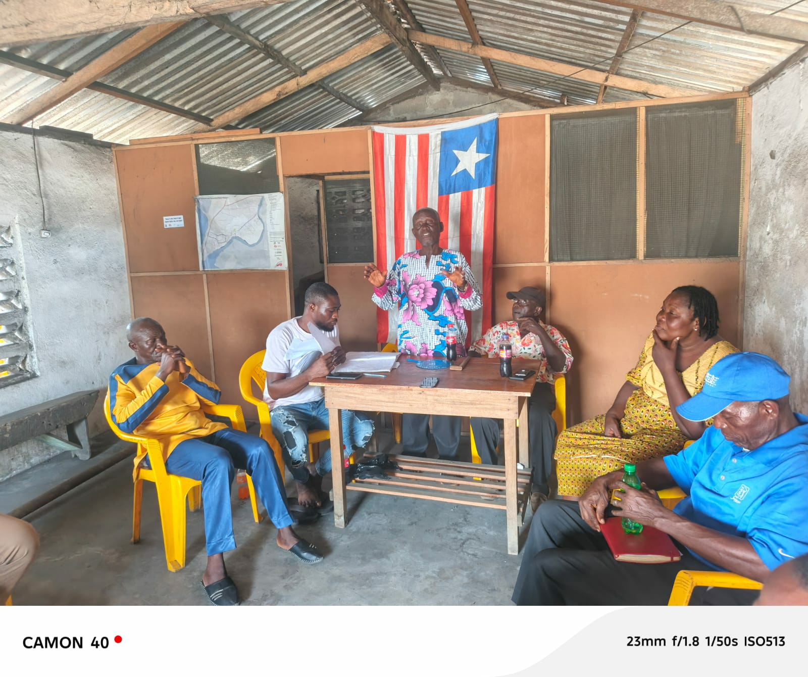
The images below show community dialogue, stakeholder engagement, and flood and waste conditions that inform the resilience-planning focus of the study.